
| Home | Route Map | Track Chart | Feedback | Send a Postcard | Help/FAQ |
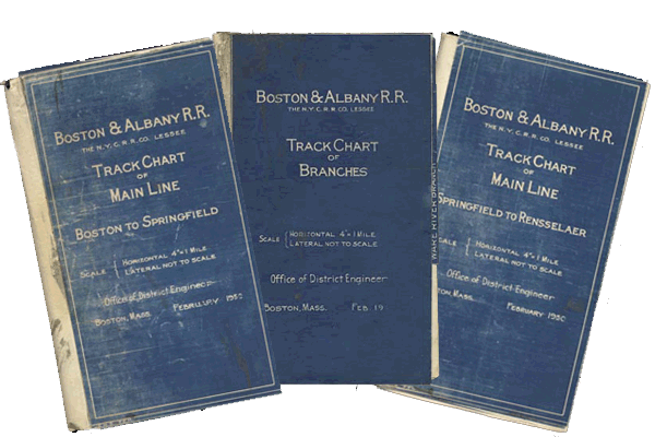
Back when mice were simply those little furry creatures that stole cheese from traps and mechanical pencils and slide rules designed railroads, documents like the ones pictured above were produced by the various Mechanical Departments to depict a given section of railroad in a scaled, dimensional way.
Generally, the documents contained about everything there was to know about the physical state of the railroad. Concepts such as grade, curvature, track configuration, stations, bridges, crossovers, grade crossings, rail yards and even some structures were all depicted ... no need to take my word for it, simply surf over to the Help page. You'll find a section of the Track Chart with a number of the features identified by callouts. Below this is the legend that appeared inside the front cover of each chart.
Of What Use Are They Today?
The Track Charts are likely to interest the railfan and historian alike. Contained within this site, you'll find the state of the B&A Main Line, the Boston Line to present owner CSX Transportation, as it existed in February 1950 ... before the construction of the Massachusetts Turnpike and ahead of endless miles of "rationalization" that removed many, many miles of second, third and even fourth main tracks from service.
Where Do I start?
You have two ways to view the chart.
Option 1: If you click on the Track Chart button, you'll reach a form that will prompt you for where you'd like to start ... and how much of the chart you'd like to see at any one time.Be sure to visit the postcard page and tell your friends about the site. You can contact the site's developer (aka 'me') through the Feedback link.
Option 2: The Route map button will take you to a map of the entire route. Clicking on a station name will bring you to that part of the track chart. Note: Only stations for which there is a viewable track chart are clickable.